Mr Whippy
|
| posted on 5/12/23 at 10:05 PM |

|
|
Windy.com
Not that I have any connection with this other than being a big fan off it. But this is one hell of a resource and the amount and type of info it
shows is like something from Star trek. I really have no idea how they can gather so much data, it seems a stretch that it could be all from
satellites? Try the different menu options and layers on the right, the mind boggles...
[Edited on 5/12/23 by Mr Whippy]
|
|
|
|
|
coyoteboy
|
| posted on 6/12/23 at 08:03 AM |
|
|
Not sure why you think it's not possible to get that much data from satellites (I work in the field) but I think it's also amalgamated with
ground data and then the forecast is modeled of course. Incredibly accurate and I use it regularly, they're are also other sites that use the
same models to feed an app I use to determine which rain bursts to avoid while cycling home 😁
|
|
|
Mr Whippy
|
| posted on 6/12/23 at 08:53 AM |
|
|
Maybe it's just how they are measuring things like water currents from space? Wave height ok that would be radar but I'd love to look into
the methods used to measure all this stuff, I'm sure it's extremely ingenious. I've looked around and that site stands out as
particularly slick and informative.
|
|
|
coyoteboy
|
| posted on 6/12/23 at 09:02 AM |
|
|
They can measure wind speeds at various heights using radar and sea height by RADAR and LIDAR, but sea currents are indirectly modelled by measuring
ocean heights, temperatures, wind speeds etc and measuring the sea floor shape, and modelling how the flow would occur, it's not a direct
measurement (that I'm aware of at this point). But bear in mind that they can measure things like plankton flow from space, it's always
possible to amalgamate data:
https://www.eurekalert.org/news-releases/878812
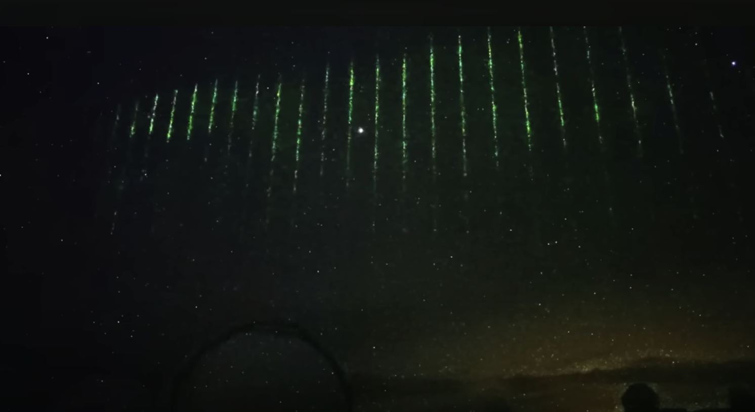
Largely unrelated but I love this image:
|
|
|
Mr Whippy
|
| posted on 6/12/23 at 12:50 PM |
|
|
Thanks for the info, amazing technology. Note to oneself, don't look up while on the ocean or a satellite will blast you in the eye with a laser!

|
|
|